Weather Watch: Must-Follow Northern California Meteorology Sources
Our Northern California climate has been changing and our weather really reflects it lately. Here’s a look at reliable meteorological sources that you can use to keep up to date on the latest weather news and developments in our area.
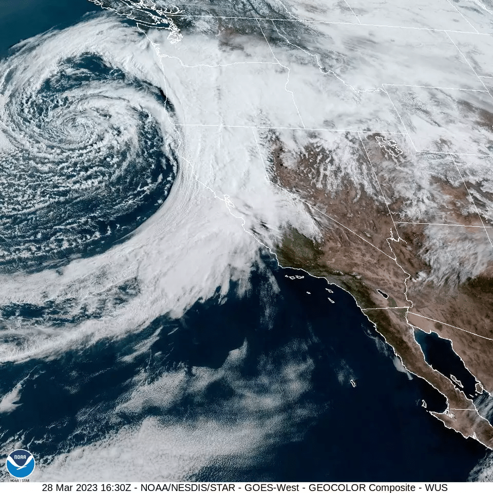
More than fifty percent of our precipitation in California is delivered by Atmospheric Rivers (ARs) long, narrow bands of concentrated moisture; they have often been called “rivers in the sky”. During an El Niño year such as this one, ARs are more likely to impact the western US. Developing storms over the Pacific intersect with ARs and are pushed towards, and eventually make landfall at, the west coast of North America.
The Center for Western Weather and Water Extremes (CW3E) predicts and tracks ARs. It ranks atmospheric rivers on a scale of AR1 to AR5; AR1 and 2 are considered “mostly beneficial” (i.e., reservoirs are replenished with little risk); AR4 and 5 are considered “mostly hazardous” (i.e., increasing risk of damaging floods).
A large part of our water resources here in Northern California have their origin in the snowpack in the Sierra Nevada. ABC10 Sacramento Weather tracks the snowpack depth and the water stored in it (The Sierra’s 2024 snowpack is just 42% of average as of January 14.) Information more specific to San Francisco and the nine Bay Area counties can be found at KTVU 2 Weather and other stations.
SSV’s own Climate Dashboard provides recent local outdoor air quality measurements, temperature and nearby fire activity maps, reservoir levels, and more useful information. We have recently added links to PG&E’s Outage Map and UC Berkeley’s Central Sierra Snow Lab
The National Weather service has websites for its Western Region HQ and also for the San Francisco Bay Area.
Finally, Dr. Daniel Swain, who gave SSV WET Talk 9 on California Weather, Climate & Its Extremes, publishes the Weather West blog, a key info source for accurate extended forecasts.